our services
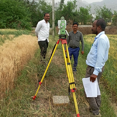
Surveying and design
- Drone Survey
- 3D Terrestrial Laser Scanner (Lidar)
- Topographical and Contour Survey
- Geo-referencing of Mouza/Topo Maps
- Preparation of Forest proposal
- Mining Survey
- Road & Drainage Survey
- Rail route & Final location Survey
- Transmission Line Route Survey and Tower Sporting by
PLS CADD
- Hydrological Survey
- GIS and Remote Sensing
- DPR for PMGSY & SH
- Structural Design & Drawing
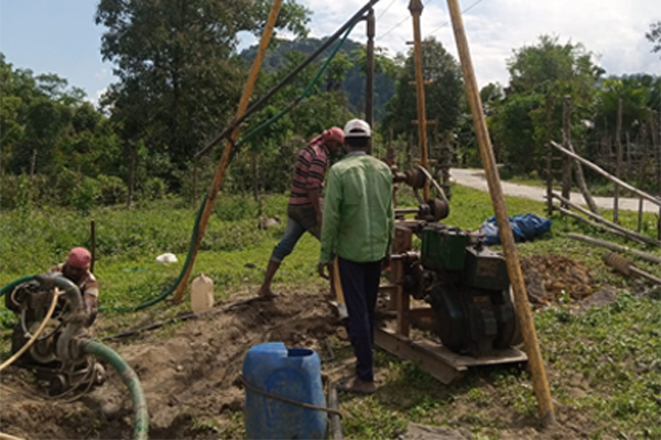
Geotechnical Investigation
- National Highway/ State Highway/ MOR
- High-rise buildings
- Mining Area
- Railway Structures
- Power/ Steel Plant
- Transmission Line Tower/ Sub-Station
- Bridge
- Any Civil Engineering Projects
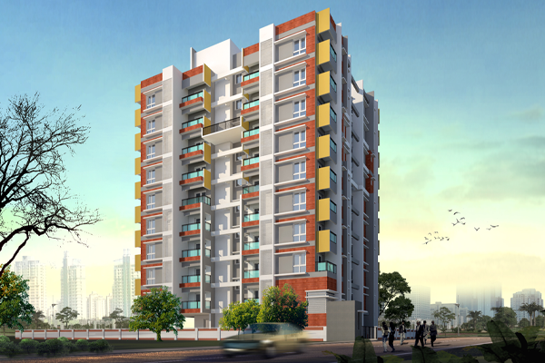
Architechture Design
- Residential Building
- Commercial Building
- Landscape
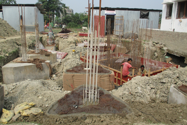
Construction Services
- Civil Construction work for high-rise building
- Structural Design & Detailing
- Engineering Design & Detailing of Building